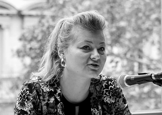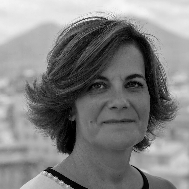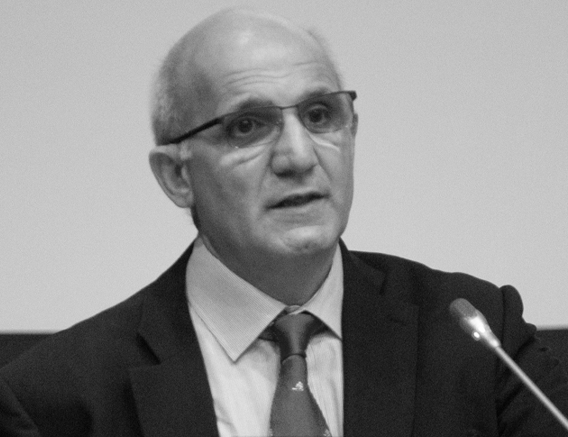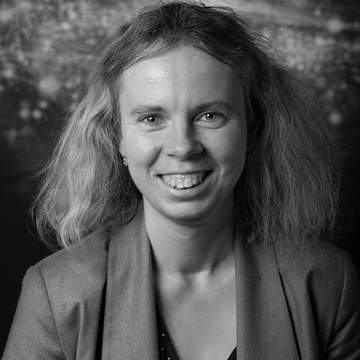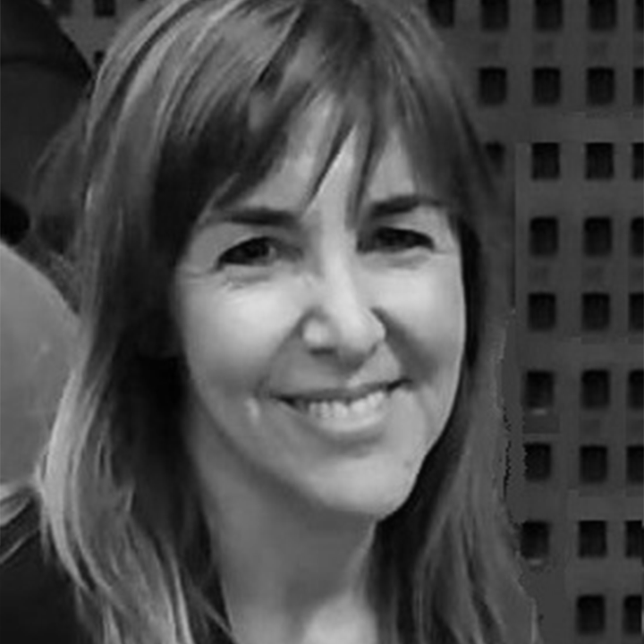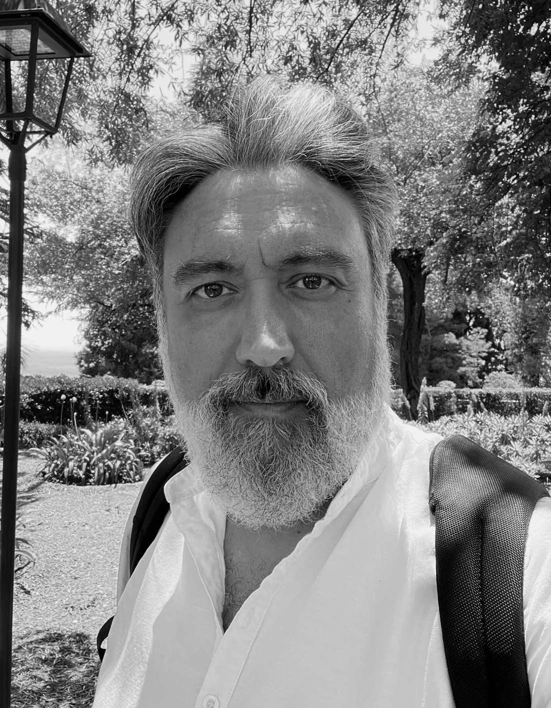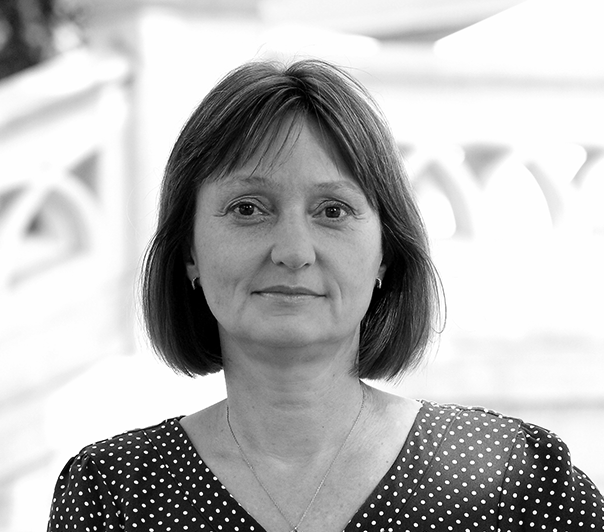
Dr. Valérie Gouet-Brunet is Research Director of the French Ministry of Ecology. She carries out her research at the French mapping agency (IGN) and at the University Gustave Eiffel, within the LaSTIG laboratory. She is in charge of research on the description of content, matching and indexing of large-scale and long-term multimedia collections, with a focus on images and their structuring, exploration and spatialisation with application to cultural and natural heritage. She served as head of a research group on computer vision, photogrammetry and remote sensing for terrestrial and airborne imagery (MATIS) and assumed a leading role in 18 EU and national research projects, most of them on terrestrial and airborne image indexing dedicated to the promotion of geographic iconographic heritage, Smart Cities and land use, in partnership with national museums, SMEs and major groups from the ICT and aerospace sector. Currently, she is coordinating the ALEGORIA project (French ANR 2018-2021), is member of the steering committee of the French Association for pattern recognition and interpretation (AFRIF), of the board of the TMO, and of the working group “Digital data” of the scientific site for the restoration of Notre-Dame de Paris.
“What excites me the most is the capability of modelling the evolution of territories and cities across time, and then to simulate what could be their future. Furthermore, the capability of interconnecting and structuring collections of photographs in silos and to facilitate their access by researchers and by the citizen. Everything that happens, happens somewhere and sometimes. At IGN, we believe that the big geodata of the past offer a common framework where our European heritage can be organised, analysed, valued and restored optimally. We want to offer smart and attractive paradigms to people to dive into their heritage.”


