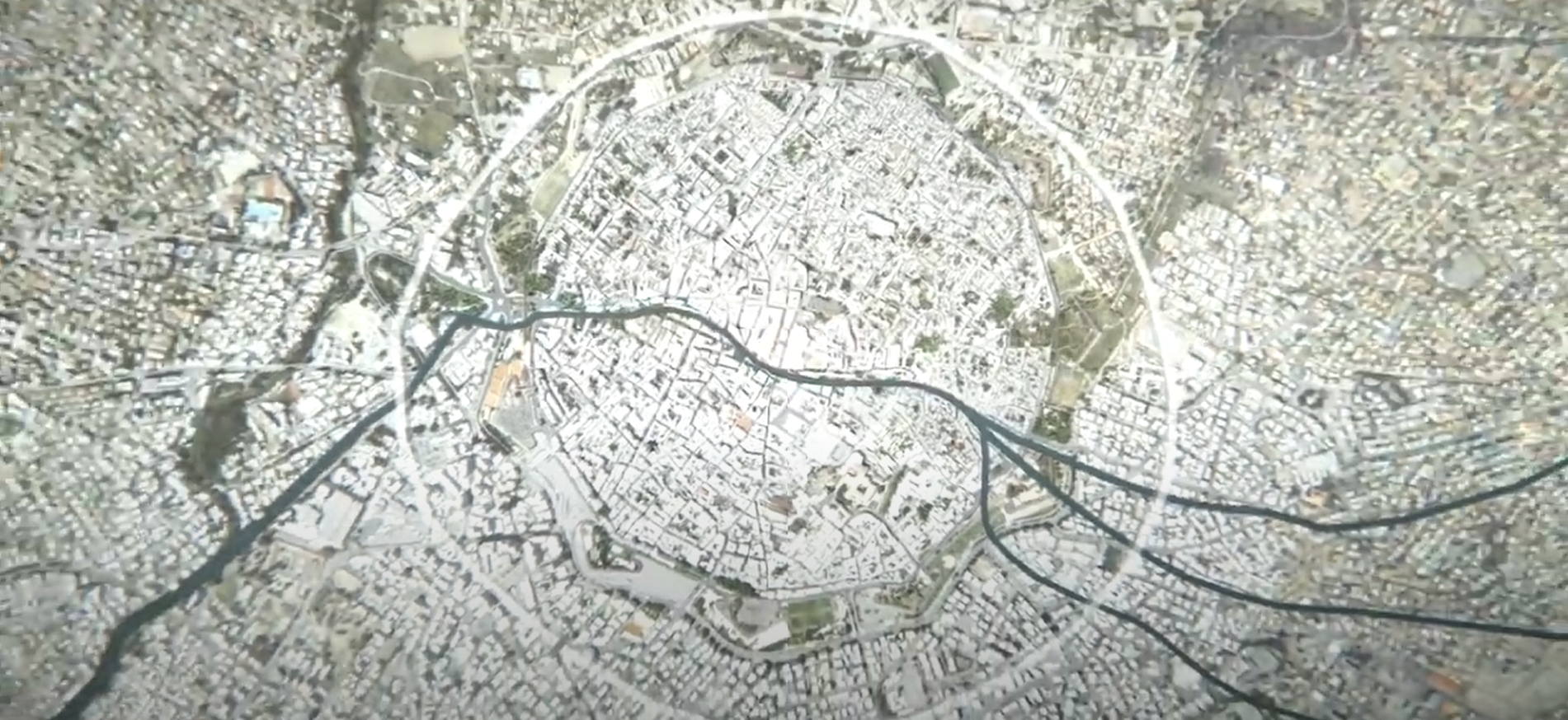
The current version of the virtual platform was created in Unity and includes (undivided) all-important monuments of the historic city of Nicosia (33 in number), the last divided capital in Europe, spanning a period of 9 centuries, being accessible/visualised as in a Time Machine, by century and with textual and visual metadata linked. This work was done with support from the A.G. Leventis Foundation and is featured in the Municipal Museum of the city, while was recently presented at the Museum Big Data conference.
This interactive platform relies on a large volume of 3D spatial data, generated through a semi-supervised photogrammetric documentation pipeline, and an accurate digital terrain model of the city, based on data provided by the Land Survey Department of the country. These spatial data are enriched with 2D and textual historical information. The processes of creating the platform involved 3D data collection, processing, optimisation data storage and management. With our interdisciplinary team of collaborators (incl. historians, architects, archaeologists, artists, computer scientists, 3D documentation experts, land surveyors and engineers- experts in BIM and GIS) we intend to continue developing this platform, further expanding its rich dataset to include historical buildings of 19th century and examples of colonial architecture.
Currently, the interactive platform hosts datasets of 33 monuments, including the city Cathedral, numerous churches, mosques, public baths, medieval Gates, libraries, schools, public markets and city infrastructures, such as aqueducts, as well as prominent townhouses and mansions.
#LTMThursday interview
Georgios Artopoulos from the Cyprus Institute shares all the information on how this interactive platform was and is being created and the impetus it might have on a societal level.
